
Center of Johnson County
Barndominium Builders in Cleburne, TX
West of town is Cross Timbers country; east of town is Blackland Prairie. Your slab design depends on which side you build.
- Free on-site estimates on your land
- Written, line-item pricing
- County permit and septic research included
Two Kinds of Ground Meet at Cleburne
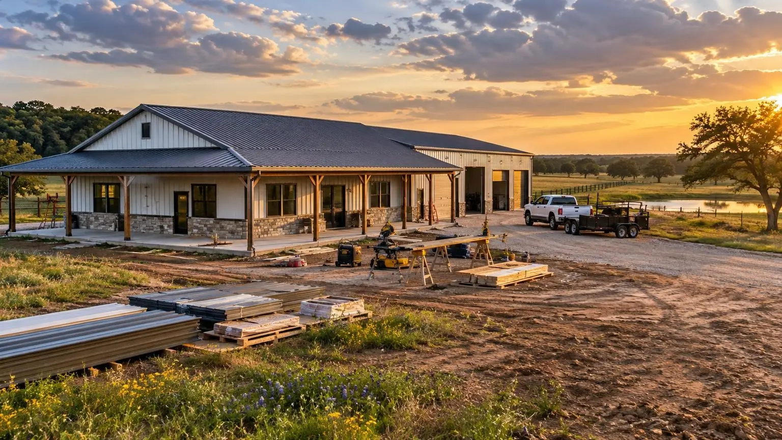
Barndominium builders who plan homes around Cleburne have to think about geology more than most. Cleburne sits in the geographic center of Johnson County, and it has been the county seat since 1867. The Cross Timbers region covers the city's western part and the Texas Blackland Prairies cover its eastern part. Wikipedia describes the terrain as low-rolling to flat, with sandy clay loam and dark calcareous clay topsoils. Those are two very different foundations, sometimes only a few miles apart.
East side: Blackland clay
The Houston Black series is one of the classic soils of the Texas Blackland Prairies. The USDA's official series description calls it very deep and very slowly permeable, with high shrink-swell potential and cracks 1/2 to 4 inches wide at 12 inches deep during dry periods. Those cracks stay open for 90 to 150 cumulative days in most years. Ground that moves like that will move a slab with it unless the foundation is designed for it. On prairie land east of Cleburne, we plan for a post-tensioned or heavily reinforced slab designed for the site's measured soil movement, moisture control around the perimeter, and gutters that carry roof water well away from the building. A big steel roof sheds a lot of water.
West side: Cross Timbers
Toward the west, the land rises and gets more wooded. Elevations within the city run from about 682 feet in the south to 974 feet at the high point in the northwest. Cleburne State Park, southwest of town, covers 528 acres of limestone ridges and thickets around Cedar Lake. Tracts in that direction can mean more clearing, more grading and, in places, rock closer to the surface. That changes excavation and septic layout more than slab thickness.
Creeks and the Nolan River
Cleburne is in the Brazos River drainage basin. The East and West Buffalo Creeks cut through the south side of the city and meet the Nolan River, and Lake Pat Cleburne was created in the 1960s by damming the Nolan; its conservation pool sits at 733 feet above sea level. Creek bottoms are attractive for trees and shade, but they are also where flood zones live. We site the house on the high ground of a creek tract and let a pasture or barn sit in the low ground instead.
Johnson County permits outside the city
Outside Cleburne's city limits, Johnson County Development Services is the office you will work with. It issues floodplain development permits for any new development in unincorporated areas as part of FEMA floodplain management, with residential and commercial categories. It also serves as the Texas Commission on Environmental Quality's designated representative for on-site sewage facilities, which covers septic applications, plan review and inspections. If you are dividing a family tract, the county's subdivision rules (amended March 24, 2025) cover plats, drainage and road construction.
Inside city limits, start with the City of Cleburne instead. Out in the county, plan for a septic system and either a water supply corporation tap or a well.
Wet enough to plan for
Cleburne averages about 37.69 inches of precipitation a year, with an average annual high of 76.5 degrees. Heavy spring rain on Blackland clay is what swells it; long dry summers are what shrinks it. A barndo here needs drainage designed for both seasons.
Railroad town roots
The railroad reached Cleburne in 1881, and the Santa Fe shops became the city's largest employer for over a century. The tracks still matter: BNSF controls much of the freight through town, and lots near the line can come with noise and crossing access to think about.
Call (469) 310-8310 or
and tell us which side of Cleburne you are building on.Cleburne and Johnson County Facts
- County seat. Cleburne has been the Johnson County seat since 1867 and sits in the county's geographic center.
- Two regions. The Cross Timbers covers the city's western part and the Texas Blackland Prairies its eastern part.
- Prairie clay. USDA describes Houston Black, a Blackland Prairie soil, as having high shrink-swell potential with cracks 1/2 to 4 inches wide in dry periods.
- County permits. Johnson County Development Services issues floodplain development permits in unincorporated areas and acts for TCEQ on septic systems.
- Water. East and West Buffalo Creeks meet the Nolan River; Lake Pat Cleburne's conservation pool sits at 733 feet.
Cleburne Questions
Will Blackland clay east of Cleburne crack my barndominium slab?
It can if the slab is not designed for it. We plan the foundation around a soil report, use reinforced or post-tensioned slabs, and control water around the perimeter.
Who handles septic permits outside Cleburne city limits?
Johnson County Development Services, acting as the TCEQ designated representative. It handles applications, plan review and inspections.
Do I need a floodplain permit for land near the Buffalo Creeks?
If the build area is in a mapped flood zone in unincorporated Johnson County, the county requires a floodplain development permit for new development. We check the map first.
Can I split my family's land to build a barndo?
Possibly. Johnson County's subdivision rules, amended in March 2025, cover plats, drainage and roads, so we start there before design.
Free Estimates in Cleburne, TX
Building near Cleburne? Ask for a written estimate.
Barndominium Builders Near Cleburne
- Barndominium Builders in Dallas, TX
- Barndominium Builders in Forney, TX
- Barndominium Builders in Terrell, TX
- Barndominium Builders in Kaufman, TX
- Barndominium Builders in Royse City, TX
- Barndominium Builders in Rockwall, TX
- Barndominium Builders in Wylie, TX
- Barndominium Builders in Princeton, TX
- Barndominium Builders in Farmersville, TX
- Barndominium Builders in Anna, TX
- Barndominium Builders in Celina, TX
- Barndominium Builders in Pilot Point, TX
- Barndominium Builders in Aubrey, TX
- Barndominium Builders in Sanger, TX
- Barndominium Builders in Decatur, TX
- Barndominium Builders in Springtown, TX
- Barndominium Builders in Azle, TX
- Barndominium Builders in Weatherford, TX
- Barndominium Builders in Aledo, TX
- Barndominium Builders in Granbury, TX
- Barndominium Builders in Burleson, TX
- Barndominium Builders in Midlothian, TX
- Barndominium Builders in Waxahachie, TX
- Barndominium Builders in Ennis, TX
- Barndominium Builders in Red Oak, TX